
Making sensing beneficial
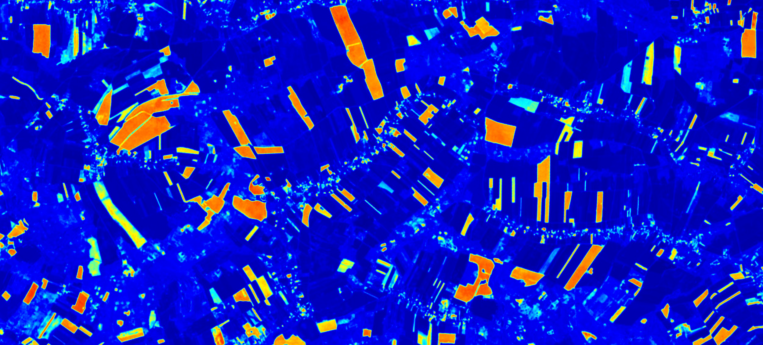
We transform complex remote sensing data into clear, actionable insights using advanced algorithms and AI analytics.
Key Features
Where technology meets space, breakthrough solutions emerge
Natural Language Interaction
Ask questions in plain language, without needing to know advanced queries.
Geospatial Data Integration
We combine satellite, IoT, meteorological, and historical data into one platform.
AI-powered Analytics
Machine learning algorithms transforming raw data into useful insights.
Real-time Updates
Continuous data refreshing for always current and precise analysis.
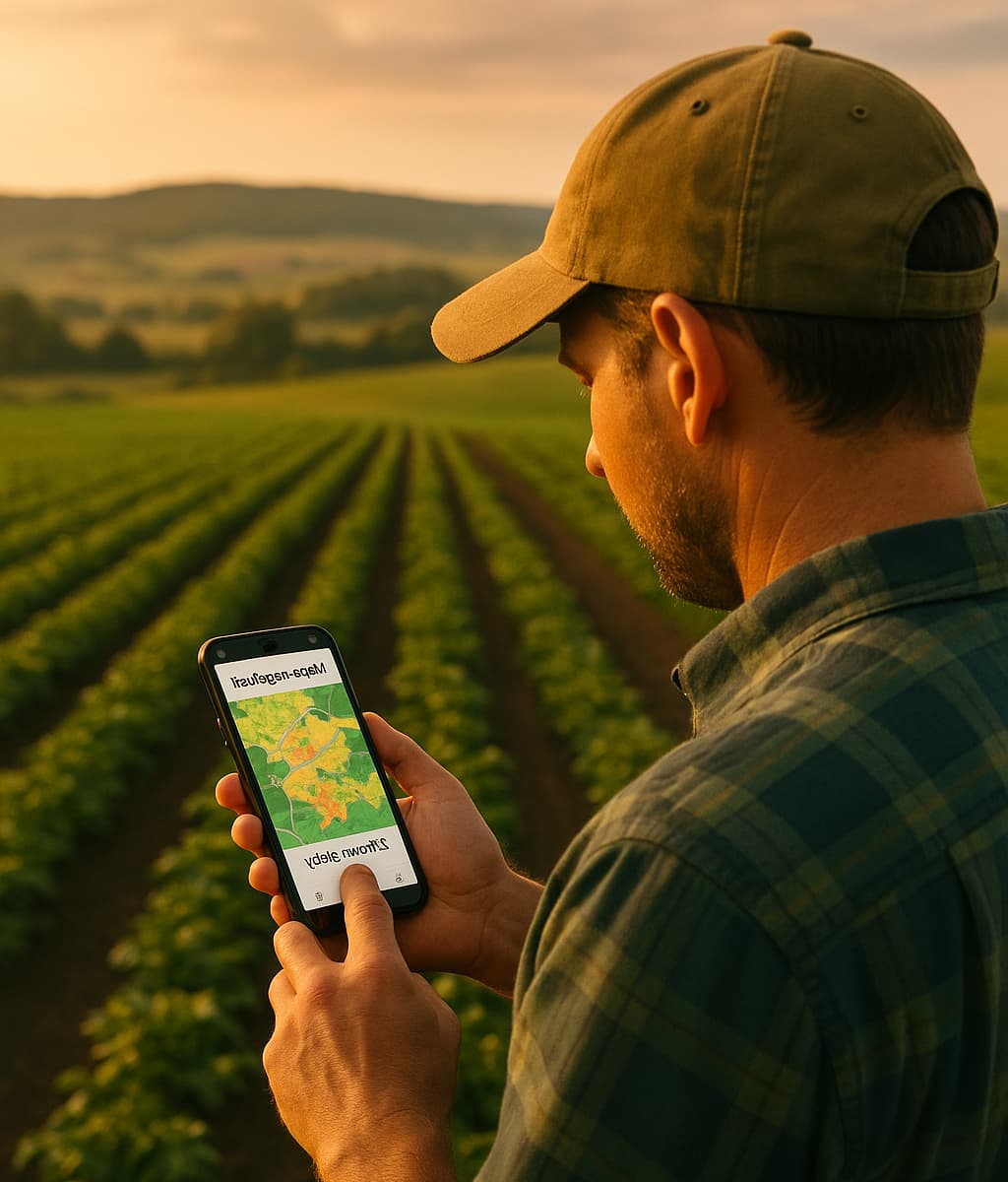
Intelligent Agent for Agriculture
Your personal AI advisor for crop monitoring, yield forecasting, and resource optimization - all accessible through simple questions in natural language.

Crop Health Analysis
Real-time monitoring of plant health using satellite imagery and AI analysis
Resource Optimization
Smart irrigation and fertilizer recommendations to maximize efficiency

LLM for GovTech and environmental protection
Advanced language models transforming natural language queries into spatial analyses for local governments and environmental protection institutions
Environmental Changes Monitoring
Automatic detection of illegal dumps, forest clearing, and other threats
Spatial Planning
Analysis of the impact of planned investments on the environment and community
Water Resources Management
Water quality monitoring and flood risk prediction
Green Areas Protection
Real-time inventory and monitoring of biodiversity
Applications and benefits
We deliver tools that empower industry, agriculture, and public administration to act more efficiently and sustainably
Agriculture
Forestry
Environmental Protection
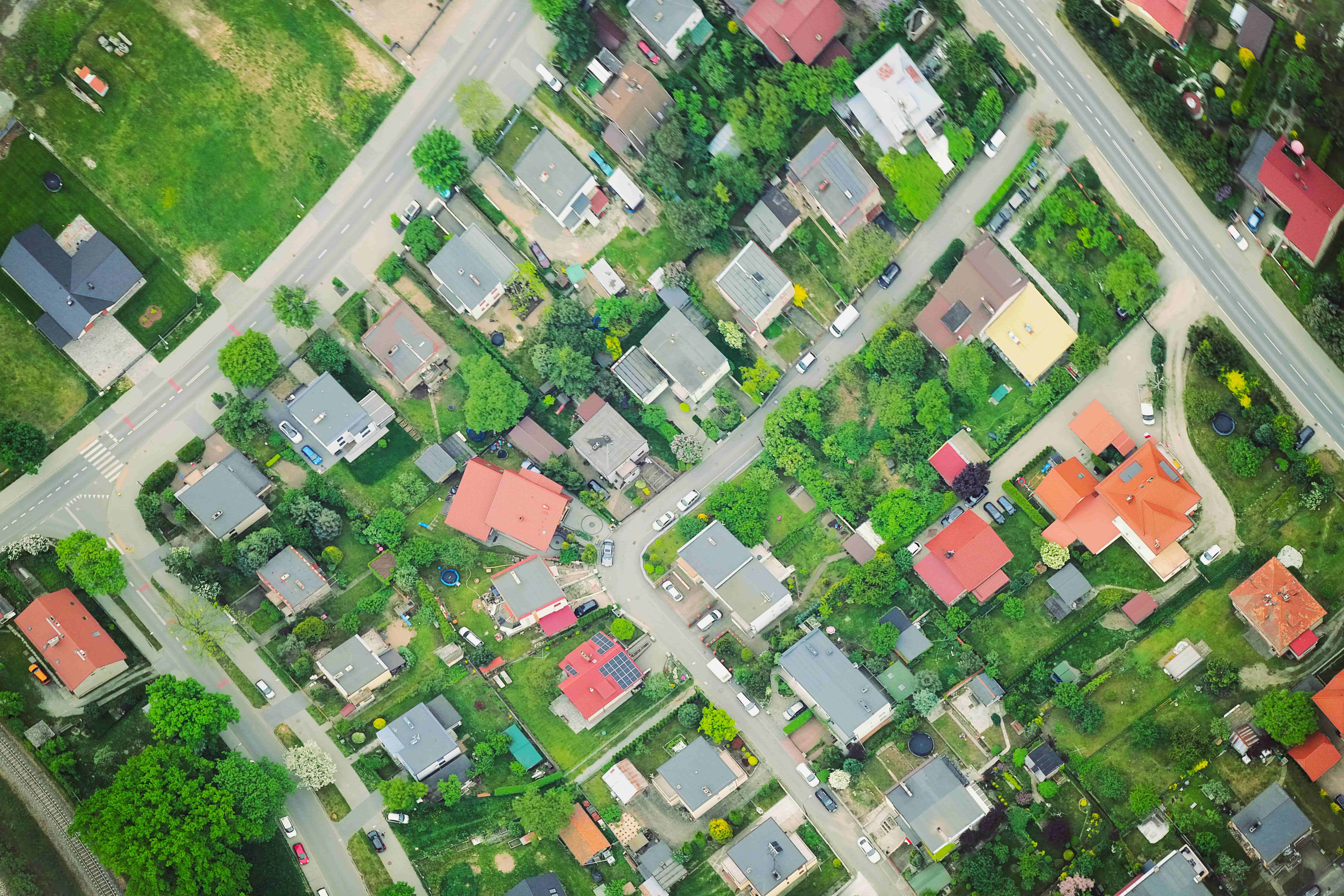
Urban Development
Our Solutions
Transforming geospatial data into actionable insights for sustainable development and smart decision-making.
Precision Agriculture
Advanced satellite monitoring and AI analytics for crop health assessment, yield forecasting, and resource optimization.
GovTech Solutions
Digital transformation tools for municipalities and government institutions that leverage geospatial data for better decision making.
Geospatial Analytics
Custom geospatial data analytics solutions for business intelligence and strategic decision-making across industries.
First step towards a sustainable future
Schedule a demonstration
Trusted by


